
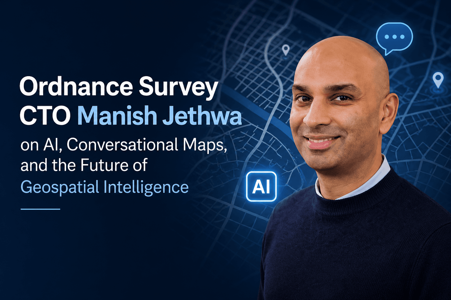
Ordnance Survey CTO Manish Jethwa on AI, Conversational Maps, and the Future of Geospatial Intelligence
AI / AI Tech Trends | 4 min read
Ordnance Survey (OS) — Great Britain's national mapping agency, with over 230 years of heritage, a National Map of more than 600 million geospatial features updated 30,000 times a day, and data that the average UK person interacts with 42 times a day — is undergoing a profound transformation under CTO Manish Jethwa. AI is reshaping every layer of what OS does: how data is captured, how it is processed, how it is delivered to customers, and increasingly how it is experienced — moving from a static data asset to a conversational intelligence that answers questions in plain language, guides decisions without specialist GIS knowledge, and actively asks questions back. For Jethwa, AI at OS is not about technology for its own sake. It is about making Britain's geospatial intelligence keep pace with a changing world while maintaining the accuracy and authority built over two centuries.
"Customers don't want data, they want answers. The future is conversational: users will ask questions and receive answers from maps and the data behind them — and maps will then ask questions back."
— Manish Jethwa, Chief Technology Officer, Ordnance Survey
From Feature Extraction to Agentic AI — How OS Is Embedding AI Across Its Operations
At OS, AI is already embedded in production workflows. Machine learning is used for feature extraction — identifying roof materials from imagery, calculating aspect, direction, and orientation using computer vision, and combining those signals to calculate the solar potential of individual buildings at national scale. The same capabilities apply to environmental monitoring, urban planning analysis, and infrastructure classification. Generative and agentic AI are now beginning to bridge the gap further — translating complex geospatial datasets into plain language and actionable insight, enabling natural-language queries, and empowering users to access geospatial intelligence without needing specialist GIS skills. Jethwa offers a practical example: a neighbourhood planner asking "Where is the best site for a new school?" and receiving an answer that combines catchment analysis, transport access, and land availability — without writing a single query. OS is also experimenting with AI agents that sit between developers and OS APIs, accelerating what is currently a highly manual integration process. That automation will grow — but Jethwa is clear that it must be secure. To drive this transformation internally, OS has built an AI Community and AI Champions across the business, alongside curated learning pathways and an AI Accelerator — because adopting AI is not just a technical shift. It is a cultural one.
Trust, Provenance, and the AI Execution Gap in Geospatial Data
The trust that OS has built over 230 years is both its greatest asset and its most important constraint on how it deploys AI. Jethwa is direct about the risks: "AI can join the dots — but it can also join them wrongly." Roofs made of plastic can look like slate; models can be fooled as easily as humans. In autonomous vehicles and national infrastructure, a convincing but incorrect output from an AI model can have consequences that no algorithm can undo. This is why Jethwa argues that provenance — tracking the origin, transformation, and interaction history of every piece of data — is not optional for AI-driven geospatial systems. Smart cities and climate models depend on spatial accuracy rather than AI guesswork. The sector needs clear standards for validation, auditability, and ethical AI use — established collaboratively, not competitively. OS's recent partnership with Snowflake to develop the Intelligent Flood Readiness Model demonstrates this in practice: combining OS's authoritative building datasets with indices of deprivation and flood risk management data to identify that approximately 1.2 million buildings in England are at flood risk but fall outside current flood defences — granular, actionable intelligence that decision-makers could not derive manually.
"The trust people place in OS data has been built over two centuries. As we adopt new techniques, we must make sure they're robust enough to stand the test of time. We are mapping more than today's landscape — we are shaping how Britain navigates the future."
— Manish Jethwa, Chief Technology Officer, Ordnance Survey
Key Takeaways
- • Ordnance Survey (OS; Great Britain's national mapping agency; CTO Manish Jethwa; 230+ years of heritage; National Map of 600M+ geospatial features updated 30,000 times a day; part of the Department for Science, Innovation and Technology (DSIT); 42 OS data interactions per UK person per day) is embedding AI across its entire technology and data stack — from feature extraction and computer vision through to generative AI, agentic AI, and conversational geospatial interfaces. OS describes geospatial data as "the invisible backbone of modern policy" — supporting climate resilience, smart city planning, connectivity optimisation, national defence, and economic growth.
- • AI in production at OS today: machine learning for feature extraction (roof material identification/aspect/direction/orientation/solar potential calculation at national scale); computer vision for building and infrastructure classification; AI agents sitting between developers and OS APIs to accelerate integration. Near-term: conversational AI enabling natural-language geospatial queries without specialist GIS skills — "Where's the best site for a new school?" yielding an answer combining catchment analysis, transport access, and land availability. Internal transformation: AI Community and AI Champions across the business; curated AI learning pathways; AI Accelerator for experimentation.
- • The conversational map vision: Jethwa's central thesis — "customers don't want data, they want answers" — frames OS's AI strategy as a shift from interoperable data to actionable insight. The future is conversational: users ask questions and receive answers from maps and the data behind them; maps ask questions back. Agentic AI is the enabling technology for this shift. 2026 will see responsible AI frameworks become standard in geospatial — not just for compliance but for trust. Geospatial startups using AI to solve real-world problems (environmental monitoring, urban planning, Biodiversity Net Gain) are accelerating through Geovation — OS's London-based accelerator for geospatial and property-tech ventures.
- • Trust, provenance, and responsible AI: OS's 230-year reputation for data accuracy is both its competitive advantage and its governing constraint on AI deployment. Key principles: provenance tracking (origin/transformation/interaction history of every data point); validation standards and auditability; collaborative standardisation rather than competitive fragmentation. Risk: AI can join the dots incorrectly — particularly relevant for autonomous vehicles and national infrastructure where spatial errors have irreversible consequences. Jethwa's call to action for 2026: a unified geospatial ecosystem built on trust and shared responsible AI standards; collaboration as the norm; a consistent source of truth over competing versions of reality.
- • OS AI in action — Intelligent Flood Readiness Model (April 2026): OS partnered with Snowflake to develop an AI-powered flood readiness model combining OS's authoritative building datasets with Indices of Deprivation and Flood Risk Management Plans (FRMPs). Output: approximately 1.2 million buildings in England are at flood risk but fall outside current flood defences; up to 68% of these are in deprived areas and potentially lack resources to recover. 15% of at-risk buildings predate 1919; 23% date from 1919–1959 — built before their location became a flood risk. Demonstrates AI applied to one of geospatial data's most consequential use cases: not mapping for its own sake, but delivering the granular, actionable intelligence that policymakers cannot derive manually, at the scale and precision that only OS's authoritative data can provide.